A Kameido Alley Exists on the Old Ward Map but in No One's Memory; Ward Office to Investigate on Site
An alley recorded on a ward-issued 1983 map of Kameido 3-chome turns out to be remembered by not a single current resident asked. The ward's property ledger also still records the alley, but a building now stands without any gap at the exact spot, and no trace of the alley's existence remains on the surface today. The ward office said on the 7th that it would conduct an on-site inspection.
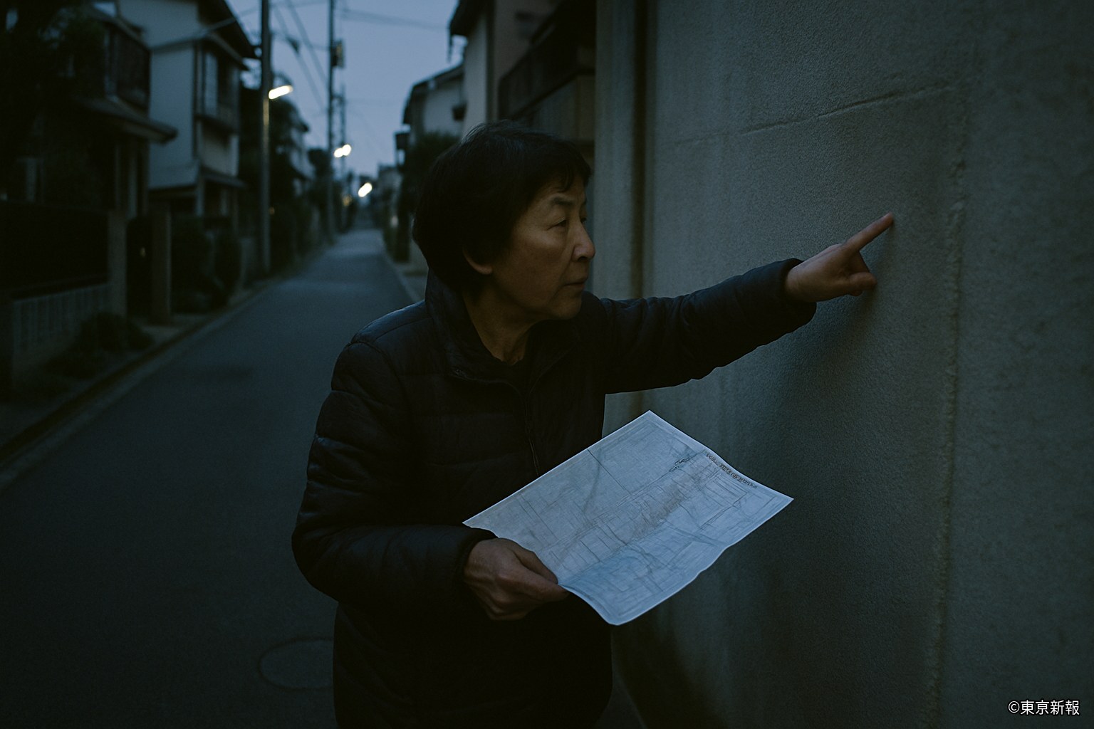
A small unease has spread among longtime residents of Kameido 3-chome. A ward-issued residential map from 1983 records an alley roughly 1.5 meters wide running between what is now the Kameido Parking Building and an adjacent apartment block. Walk the same spot today, though, and the two buildings stand wall to wall, with no gap where the alley is shown. This paper asked eight residents in the area, map in hand, including two women in their seventies who already lived there in 1983 — and not one of them had any memory of such an alley ever existing.
According to the ward's road management division, the alley in question was never registered as an official ward road but was treated as a private right-of-way, and the property ledger from the time of the 1983 map still records it as "a private passage 1.5 meters wide and roughly 12 meters long." An official said, "The ledger entry itself certainly exists. But we have, at least so far, found no record — no filing for abolition or infill — showing when or how this alley disappeared." Converting a private right-of-way to another use normally requires a filing, and no such filing can be found either.
A licensed architect who examined the site where the alley is said to have run noted, "Looking at where the two buildings' exterior walls meet, the seam shows wear that looks unnaturally old compared to the buildings' own ages. Some kind of construction work may have taken place between whenever the alley existed and whenever it disappeared." At the same time, the architect added, "It's genuinely strange that no record of such work survives anywhere — not with the ward, not with the building association. Normally, paperwork turns up somewhere" — stopping short of any firm conclusion.
A man, 78, who has lived next to the plot for nearly forty years, said, "I only learned of it when I was shown the map. I can't say I forgot — I simply never knew there was an alley there at all. It's strange, given I walk this street every day." A woman, 69, living nearby said, "If there really had been an alley, kids would have played there, and it would have come up in neighborhood talk at some point. And yet it comes up in no one's story at all."
On the 7th, responding to an inquiry from this paper, the ward office said it would "conduct an on-site inspection, as a case where the ledger and current conditions don't match." An official said, "We can't rule out that the old map simply contains an error. But a case where both the ledger and the map carry the same entry is hard to dismiss as a simple clerical mistake," adding that the ward would also examine building-permit records going forward. The TDA commented that "there is, at this time, nothing suggesting any connection to Yuragi," while adding that "as a matter touching on memory and records, we are taking the report seriously."
As far as this paper has been able to confirm, the only physical evidence that the alley ever existed is the 1983 map and the property ledger held by the ward — not a single photograph or firsthand account has turned up. A university student, 21, passing by the site where the alley is said to have run, said, "The part that unsettles me most is that it only survives on a map, not in anyone's head. Was it made to not have existed, or did it really never exist? I can't tell which." The ward office says it cannot yet say when the on-site inspection will be complete.